Splitting objects by lists |


|
|
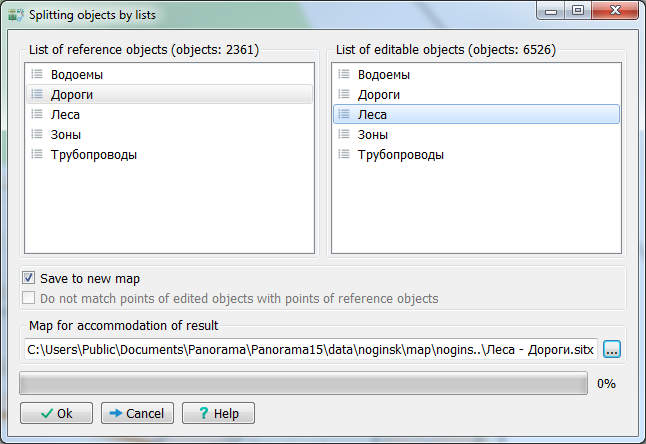
The order of execution on the example of splitting of areal forests into forest blocks according to the list of roads and forests: 1. Select roads and forests on the map using the mode Search ➝ Search and mark, or the mode Search ➝ Mark by image. 2. Save the selected objects as a list: Search - Lists of objects. Enter the conditional name of the list «Roads» and save the list. 3. Disable selected objects: Search - Undo marking. 4. Select areal forests on the map and save the selected objects as a «Forests» list. 5. Open the dialog for splitting objects: Tools ➝ Map editor ➝ Cut and combine ➝ Splitting objects by lists. Select the list of reference objects «Roads», the list of editable objects «Forests» and click the Run button.
|