Map (plan) of the object land |


|
|
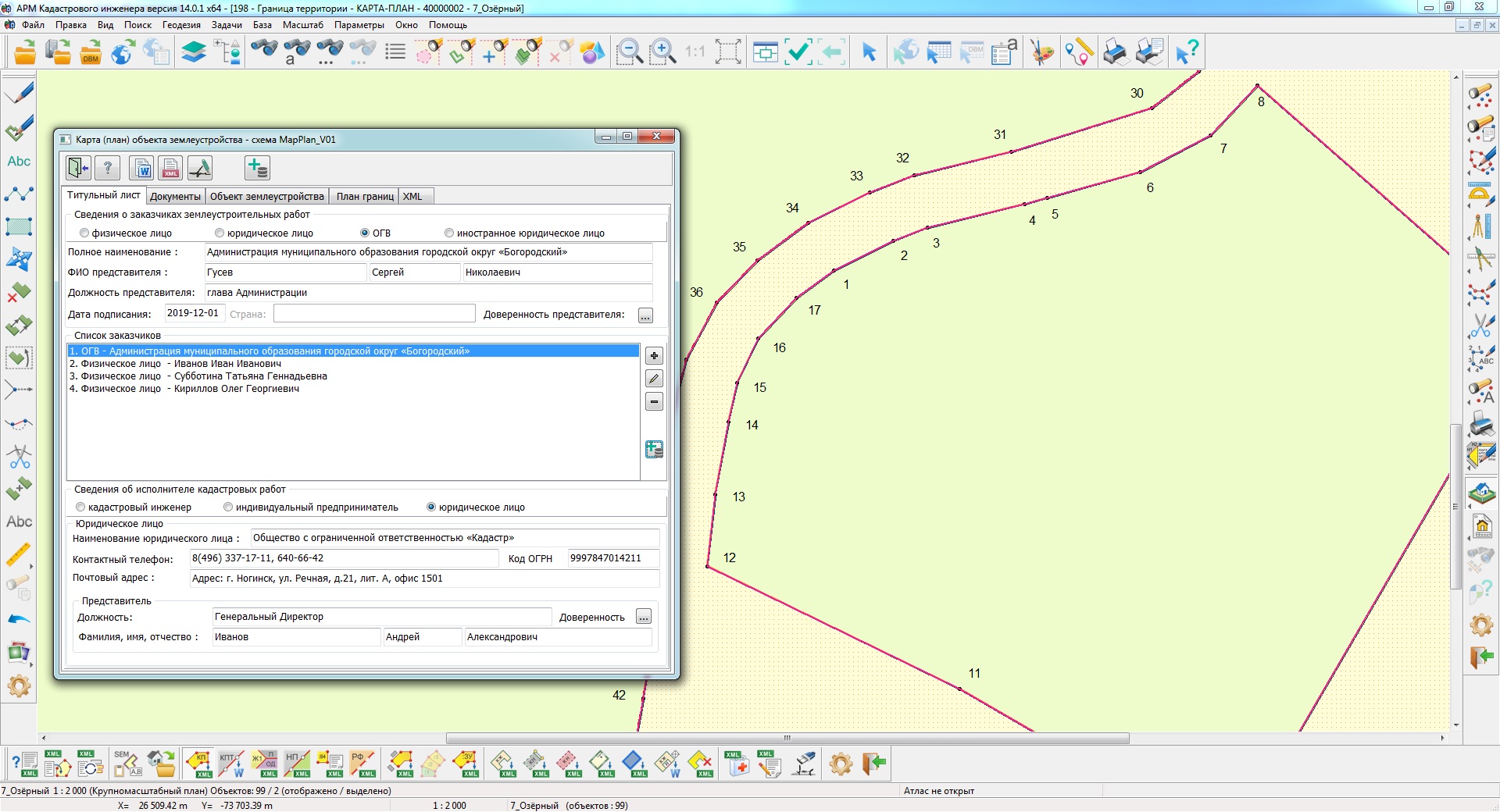
To form a map (plan) of a land management object in the Panorama environment, it is necessary: - Put on the cadastral map the initial information about the location of the land management object from the XML files of the state real estate cadastre; - Make corrections into the cadastral map in accordance with the results of field work - prepare a coordinate description of the land management object; - Prepare the document «Map (plan) of the land management object» in accordance with Decree of the Government of the Russian Federation of July 30, 2009 N 621 «On approval of the form of the map (plan) of the land management object and the requirements for its preparation« and receive its scanned copy in PDF format; - Form an electronic document the map (plan) of the land management object.
For the convenience of users, the call of the necessary modes is combined in the framework of the «Map (plan) of the land management object» dialog.
To form a text report, use the button To form an XML-document of a map (plan) of a land management object, it is necessary to fill in the data in the screen forms of the dialog and click the button An electronic XML-document is formed for informational interaction during the maintenance of the state real estate cadastre with state authorities of the constituent entities of the Russian Federation or local governments in terms of presenting a map (plan) of a land management object. A text report the map (plan) of a land management object is formed automatically in accordance with the requirements approved by Decree of the Government of the Russian Federation of July 30, 2009 N 621 «On approval of the form of a map (plan) of a land management object and requirements for its preparation».
To automate the processing of cadastral and land management data, the preset settings for the codes of objects and attributes of the digital classifier of the survey map of the actual version are used. Digital classifier survey of the actual version, containing the necessary composition of objects and attributes of the cadastral map, is included in the delivery of the program. |