Isobaths control |


|
|
The relief of seabeds, large lakes, reservoirs, and major navigable rivers is depicted using isobaths and depth marks.
Isobaths are drawn: — on maps of scales 1:10,000 - 1:100,000 using the scale: 2, 5, 10, 20, 50, and 100 m; — on maps of scale 1:200,000 using the scale: 2, 5, 10, 20, 50, 100, 150, 200, 300, 400, 500, 700, 1000, and then at 1000 m intervals; — on maps of scale 1:500,000 using the scale: 10, 20, 50, 100, 150, 200, 300, 400, 500, 700, 1000, and then at 1000 m intervals; — on maps of scale 1:1,000,000 using the scale: 50, 100, 150, 200, 300, 400, 500, 700, 1000, and then at 1000 m intervals.
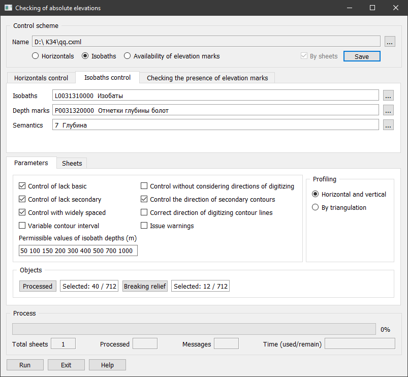
Isobath control verifies that isobath depth values conform to the specified lists of permissible values. When controlling isobaths of a topographic or overview-geographic map according to specified depth values, the Vertical interval of relief (m) field should contain a list of permissible isobath depths,
for example: 2 5 10 20 50 100 150 200, where 2, 5, 10, 20, 50, 100, 150, 200 — are permissible isobath depth values. |