Checking the presence of elevation marks |


|
|
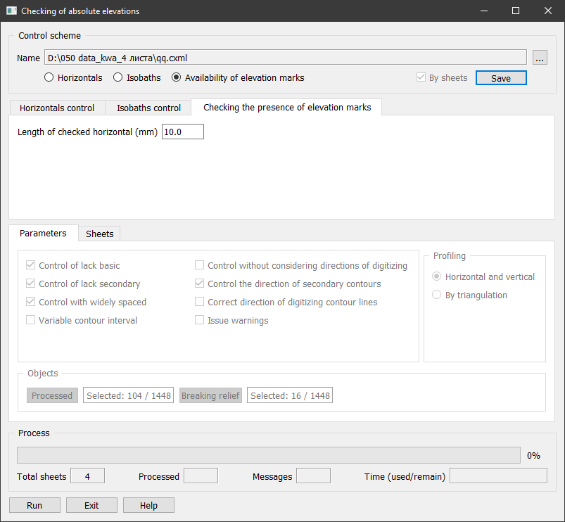
This type of control checks for the presence of point, linear, and areal objects with absolute elevation within closed contour lines. If such objects are absent, a message No elevation mark inside closed contour line is displayed. If there is a point object with absolute elevation (elevation mark) inside a closed contour line, the planimetric position of the mark relative to the closed contour line is checked. The Length of checked horizontal (mm) field specifies the minimum length of the contour line (Lmin) in millimeters on the map.
The minimum length is used when checking the planimetric position of the found elevation mark relative to the enclosing closed contour line. If the length of the closed contour line is less than Lmin, the distance from the mark found inside the contour to the enclosing contour is not checked. If the length of the closed contour line is greater than Lmin, this distance is checked. If the distance is less than 0.5 mm on the map, a message Elevation mark is too close to the closed contour line is displayed. |