Geoportal display settings |


|
|
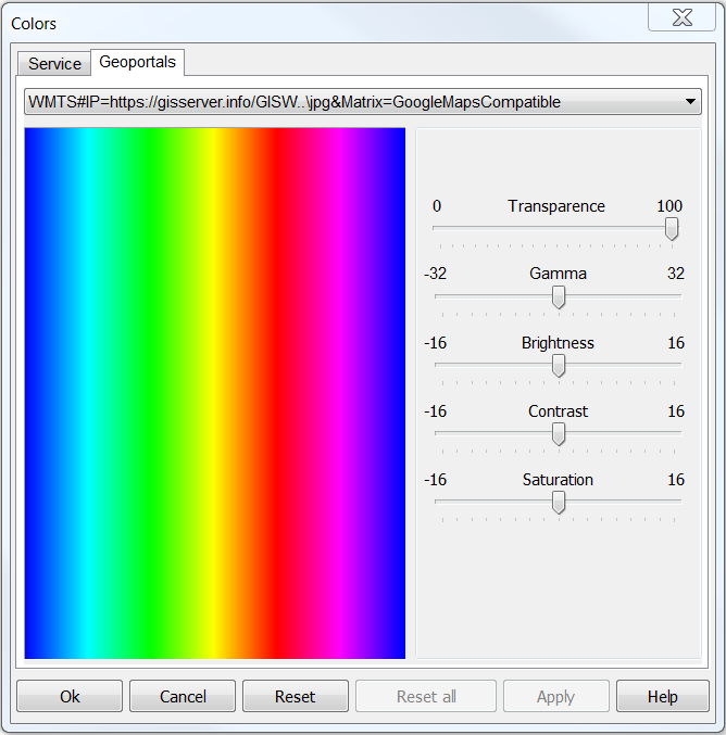
For a geoportal it is possible to set a transparency — for combination with other layers, brightness, contrast, saturation. The main panel → Image colors adjustment or through the dialog the List of the data → the Geoportals tab. Select the necessary parameters and click the Ok button.
Image colors adjustment
Color settings
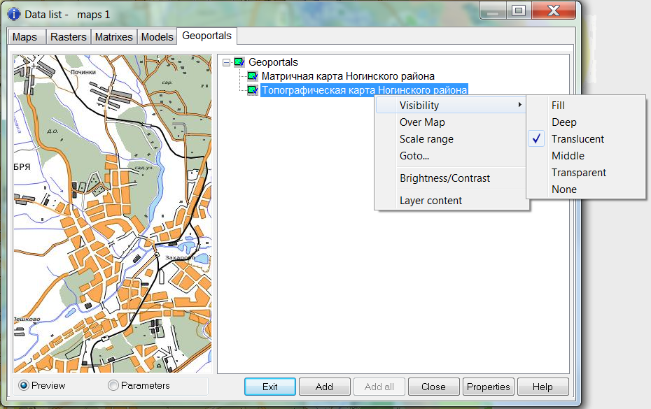
Display settings
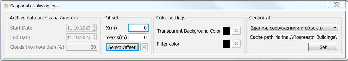
To configure additional parameters for displaying data, use the Geoportal display options dialog.
Customizing the display of geoportals
Some geoportals allow access to archived data or access to satellite images with a certain percentage of cloud cover. To do this, you need to select the required ranges of start date and end date, and also set the Clouds parameter. Click on the Set button. If the geoportal has lower accuracy than the map or data with which the geoportal is combined, then it is possible to set an offset. To do this, you need to click on the Select Offset button and select a point on the geoportal and on the map, or set the offset manually in the appropriate fields. Click on the Set button. To reset the offset, click the reset button (x). To view several layers at the same time, it is possible to set the transparent color for the geoportal. To do this, click on the color button and select the desired color on the geoportal. Click on the Set button. To reset transparency, click the reset button (x). To apply a color filter to the geoportal in order to view its contents in red or black, you need the Filter color button. To do this, click on the color button and select the desired color on the geoportal. Click on the Set button. To reset the color, click on the reset button (x). |