Correction of objects metrics

Print Top page Next page

The program is intended primarily for the processing of electronic vector maps, obtained through imports from other geo-information systems, as well as for the processing of electronic maps in order to prepare them for conversion into other GIS applications.

The program is a set of service functions that implement editing the objects metrics of vector electronic map in a batch mode.

By means of this program can be processed pre-selected map objects.


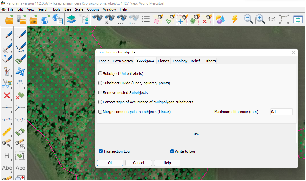
All procedures are conventionally divided into groups of modes that are located in separate tabs:

— Labels;

— Extra Vertex;

— Subjects;

— Clones;

— Topology;

— Others.

clip0001


With this program you can perform the following procedures:


Tab Labels:

Correct labels orientation (from left - to right)

Replace metrics by semantics (Copy Text to Label field)

Level Horizontal Labels (to correct a second point)

Convert Unicode to character text

Translate names

Set the separator of the integer and fractional parts of numbers


Tab Extra Vertex:

Delete the intermediate points (for vector objects and labels)

Delete superfluous vertex for point objects (all, except the first)


Tab Subjects:

Subobjects Unite into an object (labels)

Subobject Divide (Lines and Squares) - divide object into its constituent parts

Fix signs of occurrence of multipolygon subobjects

Combine subobjects with a common point (linear)


Tab Clones:

Clones killer - delete clones (produplicated objects)

Label Clones killer - delete clones of text with different codes

Delete duplicated subobjects


Tab Topology:

Paste linear objects to control the direction and semantics

Harmonization of linear network (ends)

Closed polyline (to close linear objects)

Matching points - agree coordinates of points

Unclose (split closed) lines

Trim self-intersecting loops


Tab Relief:

Correct direction of hydrography

Correct direction of digitizing contour lines (right - below)


Tab Others:

Length Correction (Labels and Vectors) - specify length according to the classifier (vector and labels)

Set length (vector and labels)

No Spline - remove the sign of the dynamic spline (lines and polygons)

Dynamic Spline - establish a sign of the dynamic spline (lines and polygons)

Change X <-> Y

No 3D - remove a sign of 3D metrics

Convert feet to meters

Convert meters to feet

Delete graphics from classifier objects

Open (dissect) the lines

Swap geodetic coordinates (latitude/longitude)

Interpolate