Technical plan |


|
|
A technical plan of a real estate object is a document that reproduces certain information entered in the Unified State Register of Real Estate (USRRE) and contains information about a building, structure, premises, parking space, construction in progress, or unified real estate complex necessary for state cadastral registration of such real estate object, as well as information about part or parts of a building, structure, premises of a unified real estate complex, or new information necessary for entering into the Unified State Register of Real Estate about real estate objects that have been assigned cadastral numbers.
The technical plan is prepared in accordance with the requirements for technical plan preparation, approved by Order No. 689 of the Ministry of Economic Development of the Russian Federation dated 01.11.2016.
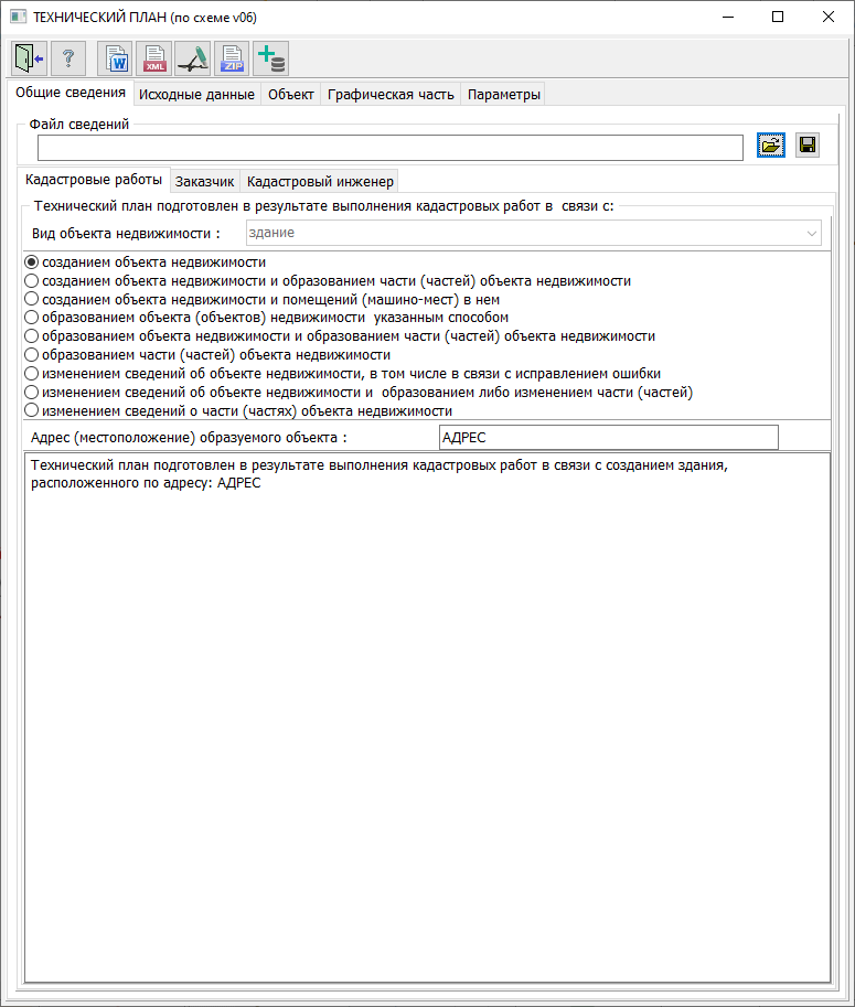
The technical plan consists of textual and graphical parts, which are divided into mandatory sections that must be included in the technical plan, and sections whose inclusion depends on the types of cadastral works.
The technical plan is prepared as a separate document for each created real estate object, except for cases specified in the requirements. When simultaneously forming real estate objects as a result of transforming a real estate object (objects), including in the case of forming parking spaces, or in the case of forming a real estate object and/or forming (changing) part(s) of a building, structure, premises, unified real estate complex, the technical plan is prepared as a single document. The number of sections below should correspond to the number of real estate objects being formed: - "Description of real estate object location" - "Characteristics of real estate object" - "Cadastral engineer's conclusion" (if necessary) - "Geodetic construction scheme" - "Scheme" - "Drawing" - "Floor plan (floors), Partial floor plan (floors), Building/structure plan, Partial building/structure plan"
These technical plan sections are filled out for each real estate object being formed.
The technical plan is prepared in electronic form as an XML document, certified with an enhanced qualified electronic signature of the cadastral engineer, and is formatted as XML files created using XML schemas that ensure reading and control of the submitted data.
Documents prepared on paper that must be included in the appendix according to the Requirements are prepared as electronic images of paper documents in PDF format, signed with an enhanced qualified electronic signature of the cadastral engineer who prepared the technical plan. Floor plan (floors) or Partial floor plan (floors), and in case of absence of floors in a building or structure - Real estate object plan or Partial real estate object plan are prepared as JPEG files.
If the contract provides for the preparation of a technical plan including on paper, then the technical plan is additionally prepared as a paper document, certified by the signature and seal of the cadastral engineer who prepared the plan; unfilled details in the textual part sections of the technical plan in paper form are not excluded, and a "-" (dash) mark is placed in such details.
For automated completion of technical plan sections, information from cadastral map objects is used. Object metrics are used to fill in technical plan sections containing spatial component information. The program obtains attribute characteristic values from the "Technical Plan" dialog elements. Characteristics entered in the dialog are saved to an XML file, and the XML filename is recorded in the semantics of the cadastral map object. During subsequent calls to the "Technical Plan" dialog, the program reads data from XML file elements and displays their values in dialog fields for viewing and editing.
For automated completion of technical plan sections, the program uses the following types of cadastral map objects: - REAL ESTATE OBJECT CONTOUR; - PART OF REAL ESTATE OBJECT; - PREMISES CONTOUR (when created together with a building); - PARKING SPACE CONTOUR (when created together with a building); - CHARACTERISTIC POINT OF REAL ESTATE OBJECT CONTOUR; - INTERSECTION POINT OF REAL ESTATE OBJECT CONTOURS; - SPECIAL MARK.
The process of preparing and forming a technical plan includes the following technological stages: - plotting initial information on the cadastral map according to USRRE data (loading XML files of real estate cadastre); - plotting cadastral work objects on the cadastral map (created or formed real estate objects, their parts, premises and parking spaces in the real estate object, characteristic contour points, etc.); - preparation of schemes and drawings and preparation of images for the graphical part; - input of attribute information about land management objects in the "Technical Plan" dialog; - automated formation of the technical plan as a text report and (or) electronic XML document.
|