Land survey plan. Applications |


|
|
When selecting the Applications node in the data tree, a call is made to the Base of cadastral works to search for the identification information of the node's details and fill in the frame elements.
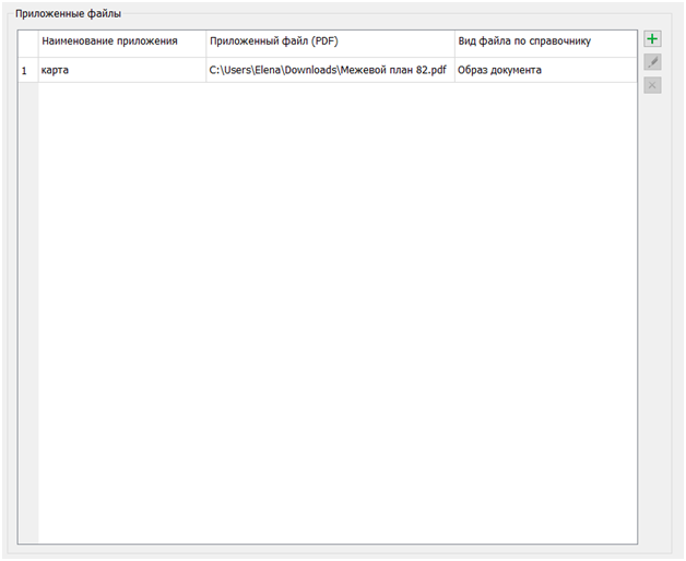
In the Applications node, the right side of the Land survey plan dialog displays a table for entering and editing information attached to the electronic XML document in the form of documents with attached file images. The dialog provides tools for maintaining a list of applications. The list of attached documents is editable. It allows for adding
The information in the Attached files block is used to populate the XML document (Appendix element). |