Address search in the database |


|
|
The address search dialog in the database is designed to search for and display on the map coordinates corresponding to the address entered by the user. For the dialog to work properly, the program must have internet access.
After launching, the dialog looks as shown in the figure:
To search for an address, you need to enter its keywords in the search bar:
When you press Enter or the button When you press
You can then select an entry from the list or use the navigation buttons:
The current record is displayed in the dialog header, and its coordinates are shown on the map.
Searching for an Object by Cadastral Number To search for objects by cadastral number, you need to enter the cadastral number of the object, quarter, district, or county in the search bar and press Enter or the button
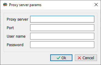
In some organizations, a proxy server may be installed for accessing the Internet. To set the parameters for accessing such a server: 1. Open the Geoportals Settings dialog. 2. Set the Use proxy server property. 3. Configure the proxy server parameters using the Proxy Server Parameters dialog (User Authorization tab).
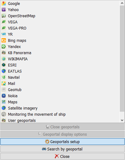
Calling the Geoportals Settings dialog
Geoportals Settings dialog
Proxy Server Parameters dialog |


 , you will be taken to the first found point.
 or the down arrow, a drop-down list with possible address options will be displayed: