Versions of the XML document the Land Survey Plan |


|
|
In the Land Survey Plan mode, there is built-in support for generating XML-documents of land survey plans according to XML-schemas versions 6 and 9. The version number being generated is displayed in the dialog header.
Different sets of attributes and reference values are used to create XML documents for different schema versions, which are implemented as semantics of the survey classifier. To generate an electronic document according to XML-schema version 6, a map created using the survey.v5 classifier is used. To generate an electronic document according to XML-schema version 9, a map created using the survey.v6 classifier is used.
The program automatically controls the version and date of the classifier and determines the version of the electronic XML-document of the land survey plan. The Land Survey Plan Version 6 mode is designed for forced generation of an electronic land survey plan document according to XML-schema version 6.
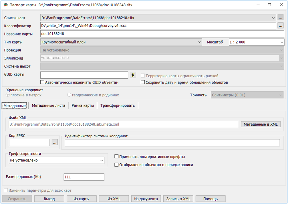
If the map does not correspond to the survey.v5 classifier, a warning message is displayed and generation is not performed. The Map Passport mode is designed for changing the cadastral map classifier.
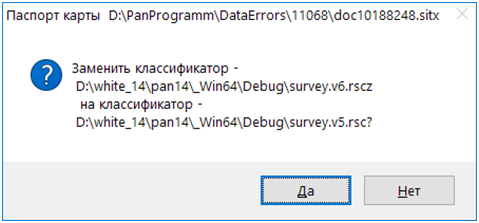
1. In the Classifier field, click the button with three dots. 2. Specify the classifier filename in the Select Classifier dialog window. 3. Click Open. A dialog window will open requesting operation confirmation. 4. Click Yes.
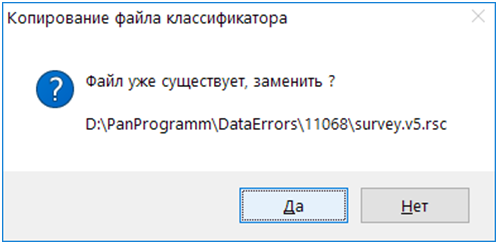
In some cases, the classifier may be copied to the map folder where a file with the same name already exists. In this case, a confirmation request for the copy operation is displayed. 5. Click Yes.
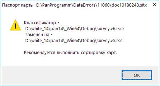
6. In the Map Passport dialog window, click Save. The map classifier is changed and an information message is displayed. Click OK.
To exit the Map Passport dialog window, click the Exit button.
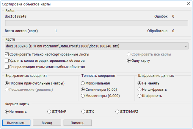
The Map Objects Sorting mode is designed for sorting the cadastral map.
1. In the dialog window, uncheck the Sort only unsorted sheets box. 2. Click the Execute button. |