Dialogue Map (Plan) of the Land Management Object |


|
|
To initiate the Map (plan) dialog of the land management object with information from the map, select one of the contours of the formed or modified (specified) Object on the map.
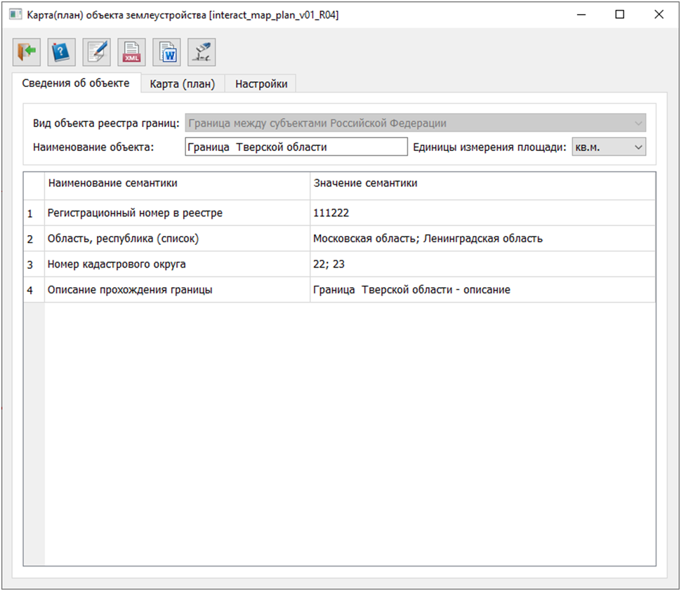
At the top of the Map (plan) dialog, there is a toolbar with a set of screen buttons. Below are tabs for displaying information included in the report and XML documents, including: General information about the object
The toolbar in the dialog contains the following buttons:
|