Document on the delineation of the Russian Federation |


|
|
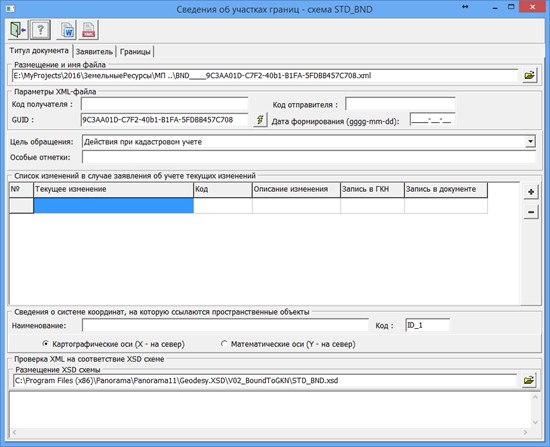
In the «Document title» section, general information necessary to generate an appeal is indicated. Specify information about the coordinate system and fill in the parameters of the future XML file.
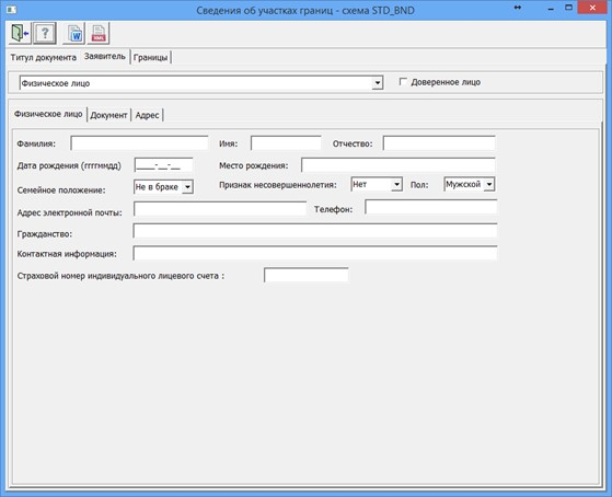
In the «Applicant» section, information is entered about the applicant, about the representative (authorized person) with the attachment of certifying documents.
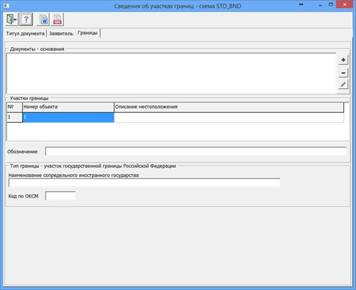
In the «Border» section, the required element to fill is the «Object name». For the border between the subjects of the Russian Federation, it is necessary to create a list of adjacent subjects of the Russian Federation in the table «Location of the border between the subjects of the Russian Federation», for the border of a municipality or the boundary of a settlement, fill in the «Location of the borders of the municipality» dialog, which is called by pressing
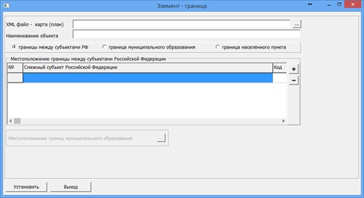
In the «Element - border» dialog, it is necessary to add information about the XML file formed earlier in the «Formation of a map - (plan) of a land management object» task. When you click on the «Map plan» button, a dialog is called for filling in data about the document - a map (plan).
To automate the processing of cadastral and land management data, the preset settings for the codes of objects and attributes of the digital classifier of the survey map of the actual version are used. Digital classifier survey of the actual version, containing the necessary composition of objects and attributes of the cadastral map, is included in the delivery of the program. |