Arrangement plot on the cadastral plan |


|
|
The scheme for the location of the land plot is prepared based on data from the State Real Estate Cadastre (GKN) for a specific territory (CPT — cadastral plan of territories). This mode is intended for generating an electronic XML document titled "Scheme for the location of a land plot or land plots on the cadastral plan of the territory."
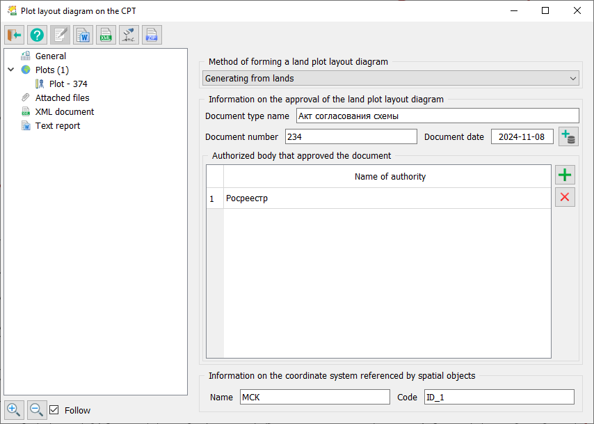
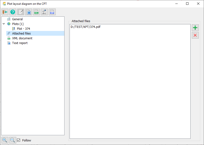
On the General Information tab, enter information about the approval of the scheme for the land plot on the cadastral plan of the territory, details about the coordinate system referenced by spatial objects, and specify attached PDF files.
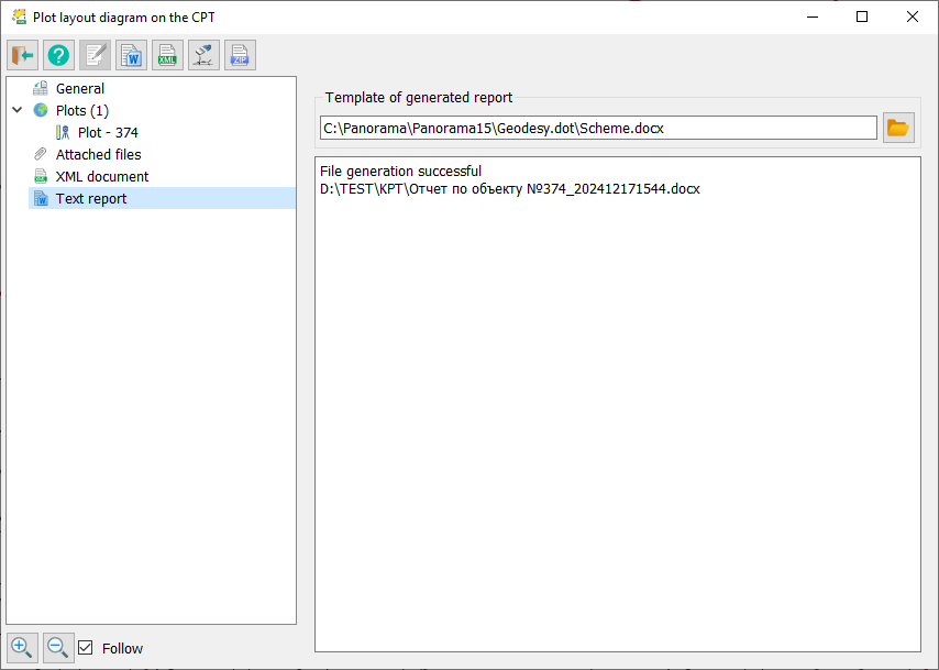
A PDF file containing a textual report titled Scheme for the location of a land plot on the cadastral plan of the territory, prepared in accordance with the requirements of Order No. 762 of the Ministry of Economic Development of the Russian Federation dated November 27, 2014, "On approval of requirements for preparing a scheme for the location of a land plot or land plots on the cadastral plan of the territory and the format of such a scheme when prepared in electronic form, as well as the form of the scheme when prepared in paper form," can be generated using the Formation of a scheme for the location of land plots on the cadastral plan of the territory mode.
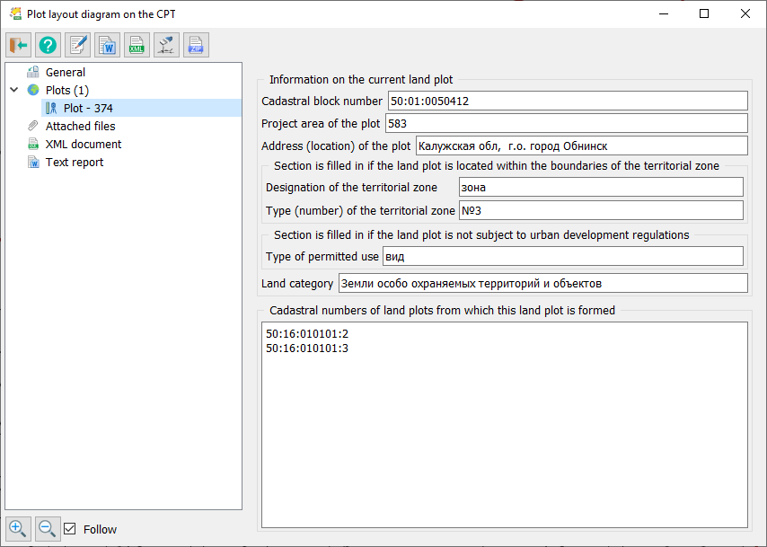
The Land Plots tab displays a list of land plots and information about the current land plot indicated in the list. Users can view and analyze information about land plots included in the electronic XML document.
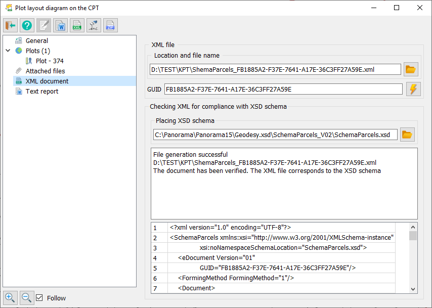
On the XML tab, specify a unique global identifier (GUID), the name and location of the generated XML file, information about the placement of the XML schema for the electronic document being created, and the folder where the archiver required to create a ZIP package is located.
To automate processes related to processing cadastral and land management data, preset configurations for object codes and attributes from the current version of the digital classifier survey are used. The digital classifier survey, containing the necessary set of objects and attributes for cadastral maps, is included in the program package. |