View and editing XML-file |


|
|
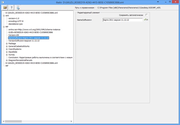
To edit values, you need to go to the corresponding link in the XML document and make edits on the right side of the dialog box. After editing is completed, you must click the «Ok» button. Data is saved automatically when the «Save automatically» option is enabled.
To automate the processing of cadastral and land management data, the preset settings for the codes of objects and attributes of the digital classifier of the survey map of the actual version are used. Digital classifier survey of the actual version, containing the necessary composition of objects and attributes of the cadastral map, is included in the delivery of the program. |