General data properties

Print Top page

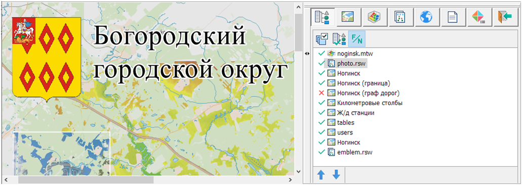
You can add vector and raster data to a document, remove it from the document, change the parameters, and also control their display order within the document.


common_datalist


Modes of working


Visibility reset

The mode is designed to enable/disable the visibility of all data.

Set default order

The mode is designed to restore the standard order of data display by data type..

Map name

Displays the full path to the file/name in the list.


Modes of working with a data tree


Enable/Disable visibility

This is done by single-clicking the LMB (left button) in the image display area or the «spacebar»:

- data visibility disabled

- data visibility enabled

Change the order of data display

It is performed using the modes or using Drag&Drop.

Group data processing is available.


Additional modes


Visibility

The mode is used to select the type of data display:

- fill

- deep

- translucent

- middle

- transparent

- none

Group data processing is available.

Brightness/Contrast

The mode is designed to customize the palette.

Over the map

The mode is designed to change the order of data display. After applying this mode, the selected data is displayed over the main document.

Group data processing is available.

Scale range

The mode is designed to set the scale range of the display.

Group data processing is available.

Go to

The mode is designed for fast movement around the region. For vector data, the transition is made to the first object, and for raster data - to the southwest corner.

Add from directory

The mode is designed for addition in the document of all data located in the specified directory.

Add

The mode is intended for adding data of the same type into a document («Insert» key).

Close

The mode is intended for deleting data from a document («Del» key).

Group data processing is available.

Save as

The mode is intended for saving vector and raster data into a file with a different name.