Modes of creating output map |


|
|
At loading data it is possible to specify scale of output map and a name of region in corresponding fields of a window.
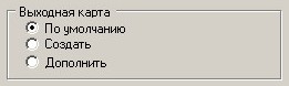
If the information in MIF/MID format mismatches the certain division accepted for vector maps in system GIS «Map 2011» or this conformity is unknown, it is necessary to start process of converting in By default mode of processing an output file.
As a result of an execution the user map with following parameters will be created: - If the information in a format MIF/MID in geographic coordinates, then: - scale 1: 100 000; - projection - conformal cylindrical Mercator projection; - map type - geographic map; - coordinate system - system in 1942; - system of heights - Baltic; - type of spheroid - Krasovsky. - If the information in a format MIF / MID in rectangular coordinates, then: - scale 1: 100 000; - all other parameters are not set.
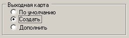
Further, information can be converted to the desired type of map by means of GIS map 2011. If the information in the format MIF/MID corresponds to a specific division accepted for vector maps or parameters of a loaded vector map are known, it is possible to execute converting in Create mode of processing the output file.
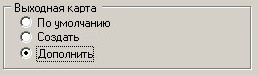
In this case before the beginning process of converting a map it will be offered to fill the passport of an electronic map in a standard window. If it is necessary to supplement the existing vector map with the information from files of format MIF/MID it is necessary to specify Append mode of processing of a target file, and as an output map to specify the existing vector map.
|