General information |


|
|
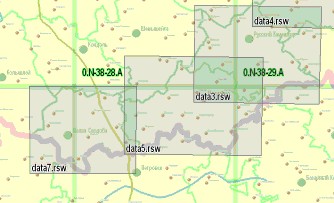
Digital vector maps and plans of cities, remote sensing data, the scanned maps-materials, a matrix of heights and terrain models can be placed into base of metadata only at presence of a geospatial binding. At opening or forming the base of metadata there is an automatic creation of a map - scheme of contents of metadata database. The map is formed in accordance with the composition of data and is displayed atop of a background preview map. Map is formed in accordance with the composition of the data and displayed over a background overview map. On a map-scheme the objects of storage (the areas covered by maps) are displayed. Digital maps and plans, raster and matrix maps differ by the mode of displaying (designing) on a map. Besides, vector maps of various scales differ among themselves. Background of displaying the objects - transparent. As a consequence, it is possible to see the overlapped among themselves data of various types and scales. Each object on a map-scheme has a title with the short name of storage object corresponding to it (for vector maps - the nomenclature), and in semantics of object the full path to corresponding file is written down.
Displaying map-scheme:
|