Changing the scope of visibility of the selected signatures |


|
|
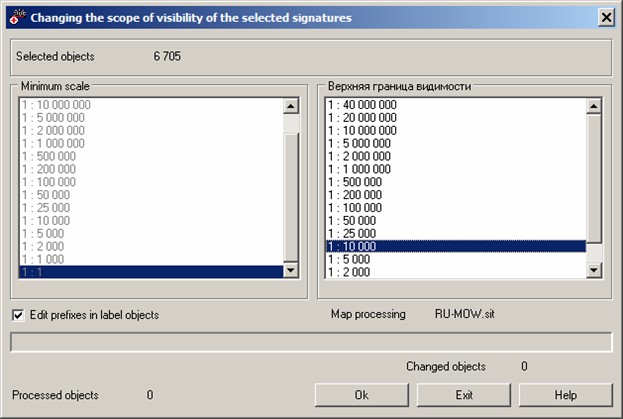
Borders of visibility of map objects is the defined in the classifier the range of scale's values of displaying the document on the screen. For performing the process it is necessary by means of the GIS Panorama to select objects on a map and to activate the application task of changing the borders of visibility vistitle.dll. Values of the upper and lower border of visibility are selected from the respective lists in the dialog window. The field Edit prefixes in label objects is intended to correct the names of geographical objects: the word "street" is replaced by a shorter "str", "avenue" - onto "av" etc. Simultaneously with renaming there is corrected the metrics of title according to its sizes. Then the crossed or inappropriate titles by the metrics receive new borders of visibility.
|