Complex of automatic recognition and vectorization |


|
|
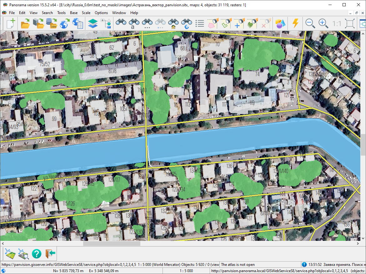
This set of tasks is designed for automatic recognition and vectorization of data on satellite images, aerial photographs, and images from unmanned aerial vehicles (UAVs). Processing is performed using the "Panorama Vision" service, located on the Internet on servers of KB "Panorama". The service is integrated with the GIS "Panorama" and is based on artificial intelligence technologies that use trained neural network models for analyzing multispectral (RGB) images of high and ultra-high resolution.
Tool Panel
Source Data For recognition, colored raster images of the terrain in formats RSW/JPG/TIFF/PNG or cartographic base from external sources — geoportals supporting OGC (Open GIS Consortium) standards for Web Map Service (WMS) and Web Map Tile Service (WMTS) — are used. The recommended spatial resolution of the source data is from 0.5 to 10 m/pixel, depending on the neural network model being applied.
Output Data As a result of image processing, a vector map with contours of recognized objects is created, for example, with boundaries of agricultural fields. The map is in SITX format (vector map storage) and is published by the "Panorama Vision" service via the OGC Web Feature Service (WFS) protocol. The objects on the map are formed using the classifier service.rsc (Automatic Recognition layer).
Panel Composition:
The panel is opened from the program's main menu: Tasks → Run Applications → Automatic Object Creation → Complex of Automatic Recognition and Vectorization. |