Information from the state real estate cadastre |


|
|
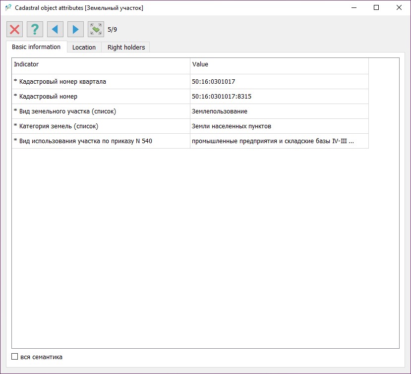
To request information from the State Real Estate Cadastre, select a point on the map by left-clicking. The system will automatically send a request to the "National Spatial Data System" portal, process the received data, place the found objects on a temporary map, and open the Cadastral Object Attributes dialog box, where all necessary information will be presented.
If there are several objects at the selected point, the system will provide the ability to switch between them using the back
The system supports searching for the following objects: — Cadastral quarters — Municipal formations (polygonal and linear) — Settlements (polygonal and linear) — Land plots (from the Unified State Register of Real Estate, formed according to land plot location scheme, put up for auction, formed according to territory surveying project (polygonal and linear)) — Buildings — Structures — Objects under construction — Zones with special conditions for territory use (cultural heritage objects, energy facilities, communications, transport, natural territories, protected objects and security, and other special zones) — Territorial zones
For the mode to function, the following conditions must be met: — The map must support geodetic parameter recalculation — The computer must be connected to the Internet |