Creating contours for cliffs and rocks |


|
|
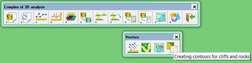
Dialog «Creating contours for cliffs and rocks» dialog is called by the corresponding button on the «Vectors» panel.
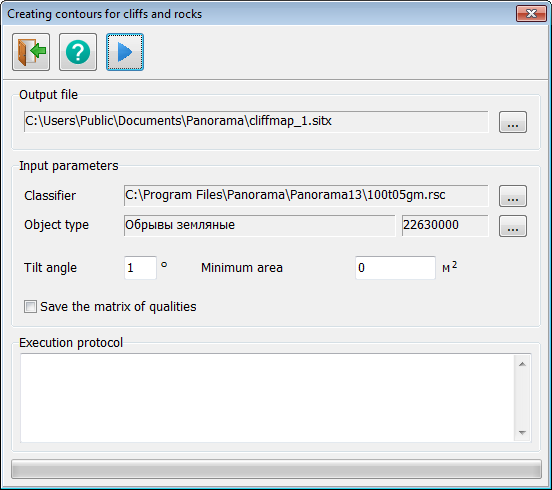
Dialog «Creating contours for cliffs and rocks»:
«Creating contours for cliffs and rocks» button on the «Vectors» panel:
The main toolbar of the dialog contains the following buttons:
The panel «Output file» contains a field for entering the name of a map of slopes. In the «Classifier» field, enter the name of the classifier, on the basis of which the map of slopes is built. In the field «Object type» is indicated an areal object, which denotes slopes. In the field «Tilt angle» is set a corner from 1 to 89 degrees. Areas in which an angle of slope of a surface relative to the isoline more than the specified one will be referred to slopes. If a value other than 0 is specified in the «Minimum area» field, then areal objects, the area of which is less than the specified one, will be deleted. With the help of the flag «Save the matrix of qualities» it is indicated whether it is necessary to save the intermediate matrix of qualities. If the flag is used, then the result of the tool's work will be a user map and a matrix of qualities. In the field «Execution protocol» a current stages of the task execution after pressing the button «Start calculation» are recorded.
|