Program execution |


|
|
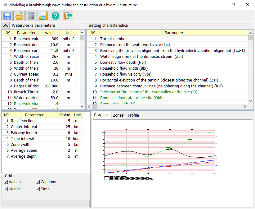
1. After starting the mode, you should select an object on the map - the dam of the analyzed waterworks.
2. Calculate the shape of the channel at the cross sections
3. Fill in the missing information for the sites (Domestic flow depth and Household flow velocity). 4. Enter data on the waterworks (lines marked in green contain calculated values; input and editing are not available).
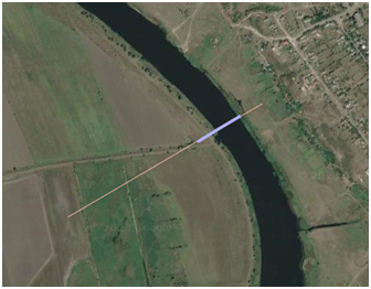
Automatic calculation of the channel shape is performed by processing the matrix of elevations of relief and includes: - Determination of the approximate width of the river channel at the target point; - Determination of the distance between the extreme horizontal lines at the target point in accordance with the specified section height. The accuracy of determining the width of the channel depends on the degree of preliminary preparation of the used matrix of heights (the degree of purification of the water surface from extraneous noise). After automatic calculation of the channel shape is performed, the zone map contains the fairway line, target points and lines displaying the result of automatic processing: - Lines showing the width of the river at the target point; - Lines showing the distance between the extreme horizontal lines at the target point.
In the process of constructing flood zones, a formation of matrix of qualities with the specified name is carried out, after which vectorization of the created matrix is performed. The formed zone map can be saved in the Save as map (SITX) mode.
When the main window is closed, a subfolder with a name corresponding to the name of the dam being processed is created in the folder with the map being processed, into which all formed data is placed, including calculated tables, graphs and maps. |


