Metadata |


|
|
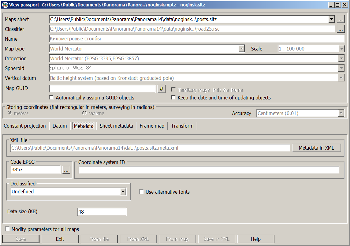
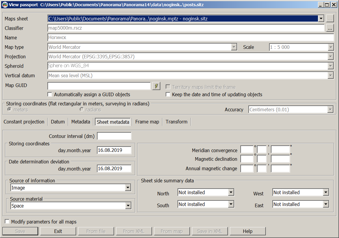
On the «Metadata» bookmark of the dialog for creating and editing a map passport, the EPSG code, coordinate system identifier, declassification label and data size in kilobytes are indicated. Data per map sheet is presented on the «Sheet metadata» bookmark. For multi-sheet maps, information is displayed for the sheet specified in the drop-down list of nomenclatures.
EPSG code and coordinate system identifier are set in the dialog «Parameters of reference system from base EPSG». The declassification label is selected from the list. The following codes are set for the declassification label: 0 - undefined 1 - unclassified, 2 - restricted, 3 - confidential, 4 - secret, 5 - topsecret.
Map sheet metadata is the contour interval, the state of the terrain - storing coordinates, the type of source of information, the type of the source material, the magnetic declination, the average meridian convergence, the annual magnetic change, the date of determination of deviation and data on the summary of the sheet sides. The summary of adjacent map sheets is a coordination of areal and linear objects of neighboring sheets, the contours of which go onto the sheet frames. Objects of adjacent sheets are considered the coordinated one in case of conformity of the points going onto a framework, and absence of contradictions of semantic characteristics. By default the signs of a summary of the sheet sides have the values «Undefined». At the coordination of two adjacent sheets for the corresponding side in the map passport the value «Done» is set. For maps with an arbitrary territory without division into nomenclature sheets, the values «Not required» are entered into the summary fields.
When creating a map sheet, the average meridian convergence is calculated automatically, the rest of data must be filled in the corresponding dialog boxes. Preservation of metadata in XML is performed by clicking the Metadata in XML button. The file name for writing metadata in XML is specified on this page and cannot be edited.
|


