Review map |


|
|
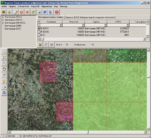
As a review (background) map can be used a vector map (MAP, SIT) or a raster map. An indispensable condition is presence of information about the coordinate system (the map should support recalculation to geodetic coordinates). The delivery program includes a schematic map of the World. For work of the program the presence of a background map is necessarily. Besides a review map (under condition of access presence to the Internet) as a background you can use maps, photos and landscapes of the most known GIS-servers (Google, Yahoo!, Virtual Earth, Yandex, OpenStreetMap). At use as a background of Internet resources the image of a review map can be disabled. Management of displaying background is carried out by means of the main menu item «View».
Use of Google resources as a background:
|