Algorithm of creating a layer model |


|
|
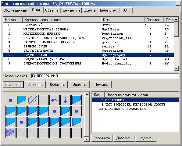
Semantic first block in the applied scheme is formed by a method of elements generation by using semantics descriptions in the classifier. Elements of the second block represent sets of semantics, are characteristic for layers. Each separate element is a basic set of the common semantics for all objects and a set of semantics typical for a concrete layer. The basic structure has mandatory for all layers the attribute ObjectKey, which stores information about the type (key) of the object, and a set of common semantics for all objects. Models of layers, are formed depending on classifier structure. The program goes over all admissible semantics of a layer. For example, for the layer "HYDROGRAPHY" from the standard classifier topo100t.rsc the model will be formed containing base structure and three semantics with numbers 3, 5, 32.
In case of using the mode «include statistics» and positive execution of the program all information about the initial classifier and the resulting scheme are saved in the LOG. The file name corresponds to a name of the resulting scheme with the added extension log. For example, if the operator has determined that the resulting file will have the name - Topo100t.xsd, then the statistics will be stored in the same directory as the created scheme as Topo100t.xsd.LOG
Structure of the statistics file:
CLASSIFIER: E:\RELEASE\100t05gopen.rsc - filename of the classifier Creation date: 7/27/2011 14:10:50 File size : 728924 SCHEME : E:\RELEASE\100t05gopen.xsd - filename of the scheme Creation date : 31.07.2011 17:25:56 File size : 99374 Semantics in total : 131 Layers in total : 28 of them created : 2 - number of created layers 1:1 - Settlements - Hydrography Renamed : 1 - number of renamed layers* - PlanHeightBase in Geodesy missed : 1 - number of missed layers - SYSTEM synonyms : 2 - number of layers-synonyms - SettlementBlock - HydrographyRel STRUCTURE OF LAYERS : layer : SYSTEM is ignored layer : Settlements is created with the scheme semantics : ObjName semantics : AdministratUnit semantics : ObjState layer : Hydrography is created with the scheme semantics : ObjName semantics : ObjState semantics : Purpose semantics : Period layer : HydrographyRel is transferred into Hydrography layer : SettlementBlock is transferred into Settlements layer : PlanHeightBase is renamed into Geodesy semantics : ObjName semantics : GeodeticPos semantics : MarkNumber semantics : AccuracyClass semantics : PositionType
*Renamed layer - if the classifier has a layer which is not present in the scheme, but it is available in the table of synonyms - such layer is renamed. The example, there is available the description of a layer and synonyms: <segment name = "Geodesy"> <add key = "PlanHeightBase" /> </segment> In the classifier there is layer PlanHeightBase but there is no layer Geodesy. In this case, the program renames the layer PlanHeightBase into Geodesy and transfers all information.
|