Parameters of geographic coordinates grid |


|
|
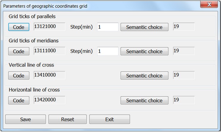
The dialog box specifies the codes of grid ticks of parallels and meridians, the distance (step) between lines by the horizontal and by vertical, and a code for the semantic characteristic into which the values of the geodetic coordinates will be recorded. For scales from 1: 500 000 there are specified the codes of parallels and meridians, codes of dashes on parallels and meridians. To change the sample of a line or a signature, click on the Code button to open a dialog with a list of the map classifier objects. For change of a code of semantics into which the geodetic coordinates are written, it is necessary to press the Semantic choice button.
|